
酒々井町 topographic map
Interactive map
Click on the map to display elevation.
About this map
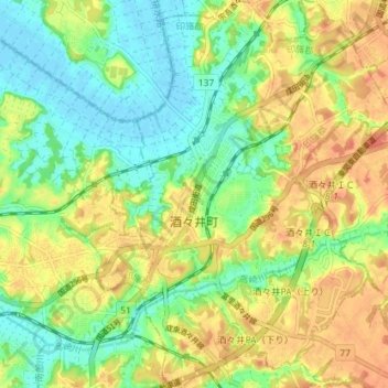
Name: 酒々井町 topographic map, elevation, terrain.
Location: 酒々井町, Inba, Prefectura de Chiba, Japón (35.69978 140.24503 35.75763 140.30997)
Average elevation: 22 m
Minimum elevation: -3 m
Maximum elevation: 47 m