
Münchwilen topographic map
Interactive map
Click on the map to display elevation.
About this map
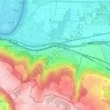
Name: Münchwilen topographic map, elevation, terrain.
Location: Münchwilen, Bezirk Laufenburg, Aargau, 4333, Schweiz (47.52711 7.95154 47.55026 7.97313)
Average elevation: 374 m
Minimum elevation: 284 m
Maximum elevation: 508 m