
Mundeswari topographic map
Interactive map
Click on the map to display elevation.
About this map
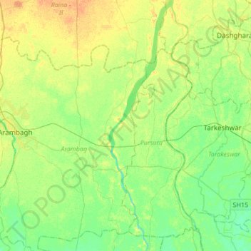
Name: Mundeswari topographic map, elevation, terrain.
Location: Mundeswari, Chandannagar, Hāora, Hugli, West Bengal, India (22.75841 87.89401 23.00720 87.95953)
Average elevation: 15 m
Minimum elevation: 4 m
Maximum elevation: 29 m