
Thank you for supporting this site ❤️
Make a donation
Make a donation
Mandli topographic map
Click on the map to display elevation.
Thank you for supporting this site ❤️
Make a donation
Make a donation
About this map
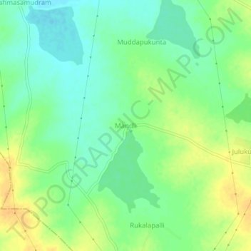
Name: Mandli topographic map, elevation, terrain.
Location: Mandli, Somandepalle, Sri Sathya Sai, Andhra Pradesh, India (13.96219 77.48750 14.00219 77.52750)
Average elevation: 608 m
Minimum elevation: 595 m
Maximum elevation: 624 m
Thank you for supporting this site ❤️
Make a donation
Make a donation