
Winnefeld topographic map
Interactive map
Click on the map to display elevation.
About this map
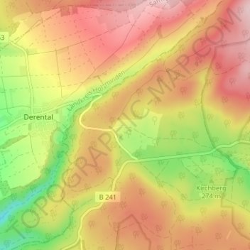
Name: Winnefeld topographic map, elevation, terrain.
Location: Winnefeld, Solling, Landkreis Northeim, Nedersaksen, Duitsland (51.67324 9.43356 51.71324 9.47356)
Average elevation: 308 m
Minimum elevation: 174 m
Maximum elevation: 410 m