
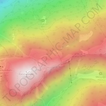
Jochtal topographic map
Interactive map
Click on the map to display elevation.
About this map
Name: Jochtal topographic map, elevation, terrain.
Location: Jochtal, Lans, Bezirk Innsbruck-Land, 6072, Österreich (47.20356 11.46063 47.22356 11.48063)
Average elevation: 1,803 m
Minimum elevation: 1,168 m
Maximum elevation: 2,250 m