
Thank you for supporting this site ❤️
Make a donation
Make a donation
Mallanwala Khas topographic map
Click on the map to display elevation.
Thank you for supporting this site ❤️
Make a donation
Make a donation
About this map
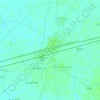
Name: Mallanwala Khas topographic map, elevation, terrain.
Location: Mallanwala Khas, Zira Tahsil, Firozpur, Punjab, 152021, India (31.02946 74.79722 31.06946 74.83722)
Average elevation: 204 m
Minimum elevation: 201 m
Maximum elevation: 208 m
Thank you for supporting this site ❤️
Make a donation
Make a donation