
Biboohra topographic map
Interactive map
Click on the map to display elevation.
About this map
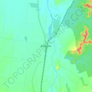
Name: Biboohra topographic map, elevation, terrain.
Location: Biboohra, Mareeba Shire, Queensland, Australia (-16.96209 145.37876 -16.88209 145.45876)
Average elevation: 393 m
Minimum elevation: 373 m
Maximum elevation: 466 m
Other topographic maps
Click on a map to view its topography, its elevation and its terrain.
Barron River
Australia > Queensland > Biboohra
Barron River, Biboohra, Mareeba Shire, Queensland, Australia
Average elevation: 360 m