
Fada topographic map
Interactive map
Click on the map to display elevation.
About this map
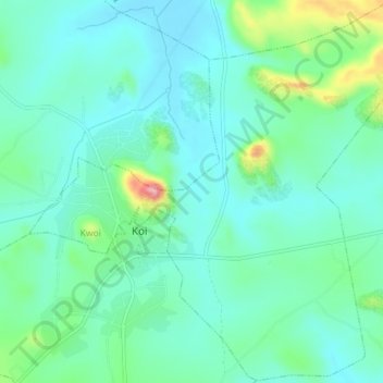
Name: Fada topographic map, elevation, terrain.
Location: Fada, Jaba, Kaduna, Nigeria (9.43573 7.99719 9.48093 8.04359)
Average elevation: 767 m
Minimum elevation: 729 m
Maximum elevation: 899 m