
Jobner topographic map
Click on the map to display elevation.
About this map
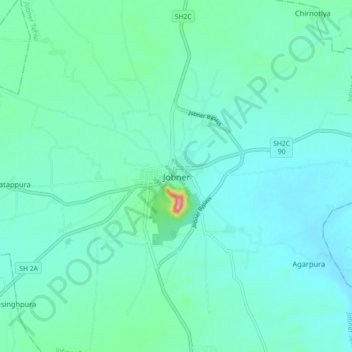
Name: Jobner topographic map, elevation, terrain.
Location: Jobner, Jobner Tehsil, Jaipur(Rural), Rajasthan, 303328, India (26.93303 75.34699 27.01303 75.42699)
Average elevation: 398 m
Minimum elevation: 370 m
Maximum elevation: 552 m