
Thank you for supporting this site ❤️
Make a donation
Make a donation
Norton County topographic map
Click on the map to display elevation.
Thank you for supporting this site ❤️
Make a donation
Make a donation
About this map
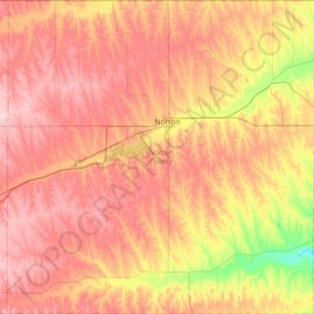
Name: Norton County topographic map, elevation, terrain.
Location: Norton County, Kansas, United States (39.56652 -100.18141 40.00189 -99.62531)
Average elevation: 719 m
Minimum elevation: 602 m
Maximum elevation: 810 m
Thank you for supporting this site ❤️
Make a donation
Make a donation