
Kota Belud topographic map
Interactive map
Click on the map to display elevation.
About this map
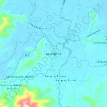
Name: Kota Belud topographic map, elevation, terrain.
Location: Kota Belud, Sabá, 89158, Malásia (6.30976 116.38929 6.38976 116.46929)
Average elevation: 41 m
Minimum elevation: 1 m
Maximum elevation: 518 m