
Manston topographic map
Interactive map
Click on the map to display elevation.
About this map
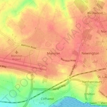
Name: Manston topographic map, elevation, terrain.
Location: Manston, Kent, South East, England, CT12 5BG, United Kingdom (51.32598 1.34963 51.36598 1.38963)
Average elevation: 38 m
Minimum elevation: 0 m
Maximum elevation: 56 m