
Thank you for supporting this site ❤️
Make a donation
Make a donation
Long Melford topographic map
Click on the map to display elevation.
Thank you for supporting this site ❤️
Make a donation
Make a donation
About this map
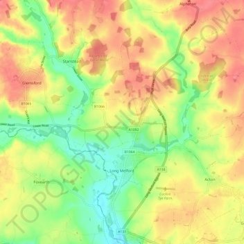
Name: Long Melford topographic map, elevation, terrain.
Location: Long Melford, Babergh, Suffolk, England, United Kingdom (52.05178 0.68804 52.12453 0.77081)
Average elevation: 59 m
Minimum elevation: 24 m
Maximum elevation: 90 m
Thank you for supporting this site ❤️
Make a donation
Make a donation
Other topographic maps
Click on a map to view its topography, its elevation and its terrain.