
Kundus topographic map
Interactive map
Click on the map to display elevation.
About this map
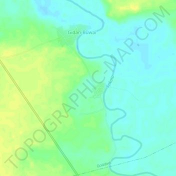
Name: Kundus topographic map, elevation, terrain.
Location: Kundus, Rabah, Sokoto, Nigeria (13.00199 5.57392 13.04199 5.61392)
Average elevation: 270 m
Minimum elevation: 262 m
Maximum elevation: 282 m