
Thank you for supporting this site ❤️
Make a donation
Make a donation
Chango-ri topographic map
Click on the map to display elevation.
Thank you for supporting this site ❤️
Make a donation
Make a donation
About this map
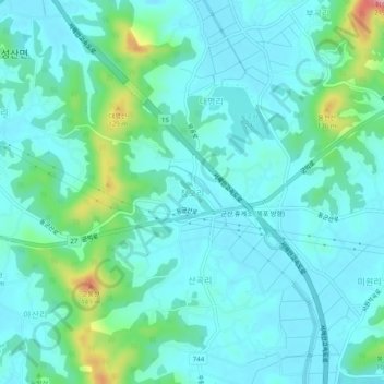
Name: Chango-ri topographic map, elevation, terrain.
Location: Chango-ri, Gunsan-si, 54056, South Korea (35.96600 126.79898 36.00600 126.83898)
Average elevation: 33 m
Minimum elevation: 0 m
Maximum elevation: 183 m
Thank you for supporting this site ❤️
Make a donation
Make a donation