
Fagam topographic map
Interactive map
Click on the map to display elevation.
About this map
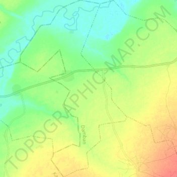
Name: Fagam topographic map, elevation, terrain.
Location: Fagam, Damban, Bauchi, Nigeria (11.58360 10.56588 11.70564 10.64111)
Average elevation: 396 m
Minimum elevation: 377 m
Maximum elevation: 423 m