
Banner County topographic map
Interactive map
Click on the map to display elevation.
About this map
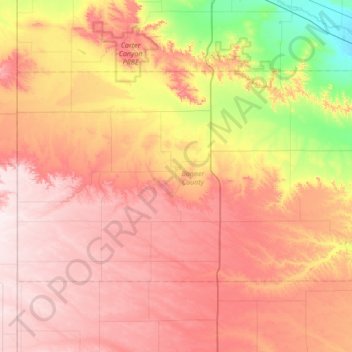
Name: Banner County topographic map, elevation, terrain.
Location: Banner County, Nebraska, 69345, United States of America (41.39288 -104.05298 41.69860 -103.36807)
Average elevation: 1,418 m
Minimum elevation: 1,150 m
Maximum elevation: 1,640 m
Other topographic maps
Click on a map to view its topography, its elevation and its terrain.
Blaine County
United States of America > Nebraska
Blaine County, Nebraska, United States of America
Average elevation: 807 m