
Obergrenchenberg topographic map
Interactive map
Click on the map to display elevation.
About this map
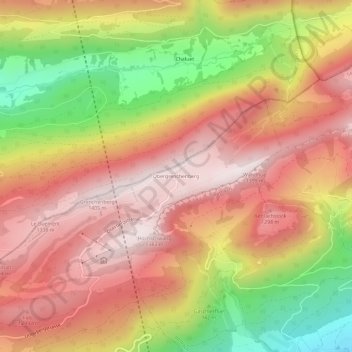
Name: Obergrenchenberg topographic map, elevation, terrain.
Average elevation: 1,058 m
Minimum elevation: 581 m
Maximum elevation: 1,384 m
Other topographic maps
Click on a map to view its topography, its elevation and its terrain.
Grenchenberg
Schweiz > Solothurn > Amtei Solothurn-Lebern > Grenchen
Grenchenberg, Grenchen, Bezirk Lebern, Amtei Solothurn-Lebern, Verwaltungsregion Berner Jura, Solothurn, 2540, Schweiz
Average elevation: 1,134 m