
Thank you for supporting this site ❤️
Make a donation
Make a donation
Margaasih topographic map
Click on the map to display elevation.
Thank you for supporting this site ❤️
Make a donation
Make a donation
About this map
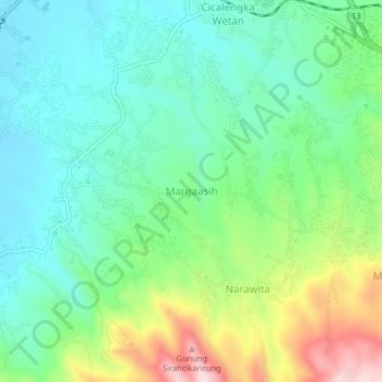
Name: Margaasih topographic map, elevation, terrain.
Location: Margaasih, Bandung, West Java, Java, 40396, Indonesia (-7.03629 107.81807 -6.99629 107.85807)
Average elevation: 782 m
Minimum elevation: 673 m
Maximum elevation: 1,037 m
Thank you for supporting this site ❤️
Make a donation
Make a donation