
Thank you for supporting this site ❤️
Make a donation
Make a donation
Repetek topographic map
Click on the map to display elevation.
Thank you for supporting this site ❤️
Make a donation
Make a donation
About this map
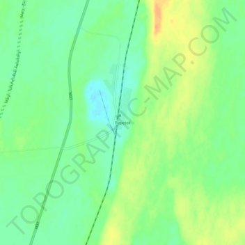
Name: Repetek topographic map, elevation, terrain.
Location: Repetek, Lebap Region, Turkmenistan (38.54111 63.15806 38.58111 63.19806)
Average elevation: 196 m
Minimum elevation: 181 m
Maximum elevation: 215 m
Thank you for supporting this site ❤️
Make a donation
Make a donation
Other topographic maps
Click on a map to view its topography, its elevation and its terrain.
Turkmenabat City
Türkmenabat is located at an altitude of 187 m (614 ft) on the banks of the Amu Darya River, near the border with Uzbekistan. Türkmenabat is at the center of Lebap province, which has borders with three provinces in Turkmenistan: Mary, Ahal and Daşoguz. The province also borders Uzbekistan and Afghanistan.
Average elevation: 194 m