
Province of San Antonio de Putina topographic map
Interactive map
Click on the map to display elevation.
About this map
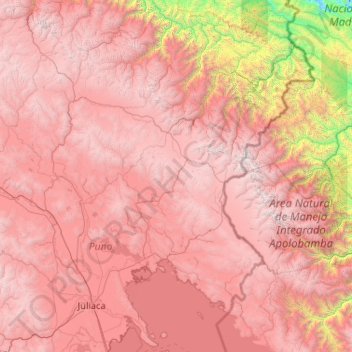
Name: Province of San Antonio de Putina topographic map, elevation, terrain.
Location: Province of San Antonio de Putina, Puno, Peru (-15.76201 -70.64050 -13.76201 -68.64050)
Average elevation: 3,612 m
Minimum elevation: 485 m
Maximum elevation: 5,901 m
Other topographic maps
Click on a map to view its topography, its elevation and its terrain.