
Kothara topographic map
Interactive map
Click on the map to display elevation.
About this map
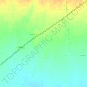
Name: Kothara topographic map, elevation, terrain.
Location: Kothara, Achalpur, Amravati, Maharashtra, India (21.30729 77.53644 21.33109 77.55707)
Average elevation: 401 m
Minimum elevation: 385 m
Maximum elevation: 419 m