
Mahu topographic map
Interactive map
Click on the map to display elevation.
About this map
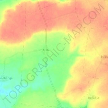
Name: Mahu topographic map, elevation, terrain.
Location: Mahu, Mahidpur Tahsil, Ujjain District, Madhya Pradesh, India (23.40362 75.65463 23.44251 75.68185)
Average elevation: 494 m
Minimum elevation: 460 m
Maximum elevation: 512 m