
Rankoli topographic map
Interactive map
Click on the map to display elevation.
About this map
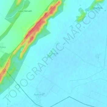
Name: Rankoli topographic map, elevation, terrain.
Location: Rankoli, Mathura, Uttar Pradesh, India (27.59259 77.31693 27.63259 77.35693)
Average elevation: 193 m
Minimum elevation: 181 m
Maximum elevation: 259 m