
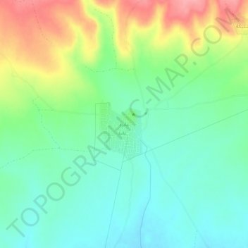
`Abirah topographic map
Interactive map
Click on the map to display elevation.
About this map
Name: `Abirah topographic map, elevation, terrain.
Location: `Abirah, Gouvernorat d'al-Hasaka, Syrie (37.00750 41.76639 37.04750 41.80639)
Average elevation: 460 m
Minimum elevation: 426 m
Maximum elevation: 524 m