
Ibrahimpur topographic map
Interactive map
Click on the map to display elevation.
About this map
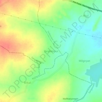
Name: Ibrahimpur topographic map, elevation, terrain.
Location: Ibrahimpur, Sangareddy, Telangana, India (17.59948 77.84069 17.63948 77.88069)
Average elevation: 560 m
Minimum elevation: 535 m
Maximum elevation: 590 m