
Kampung Jeram Pantai topographic map
Interactive map
Click on the map to display elevation.
About this map
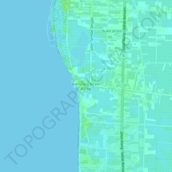
Name: Kampung Jeram Pantai topographic map, elevation, terrain.
Average elevation: 2 m
Minimum elevation: 0 m
Maximum elevation: 10 m
Other topographic maps
Click on a map to view its topography, its elevation and its terrain.
Bukit Jeram
Bukit Jeram, Jeram, Kuala Selangor, Selangor, 45800, Malaysia
Average elevation: 3 m