
Thank you for supporting this site ❤️
Make a donation
Make a donation
Mioveni topographic map
Click on the map to display elevation.
Thank you for supporting this site ❤️
Make a donation
Make a donation
About this map
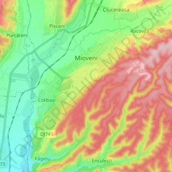
Name: Mioveni topographic map, elevation, terrain.
Location: Mioveni, Argeș, Romania (44.89861 24.89211 44.98626 25.00448)
Average elevation: 354 m
Minimum elevation: 268 m
Maximum elevation: 469 m
Thank you for supporting this site ❤️
Make a donation
Make a donation