
Phodong topographic map
Interactive map
Click on the map to display elevation.
About this map
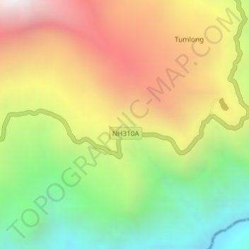
Name: Phodong topographic map, elevation, terrain.
Location: Phodong, Mangan, North Sikkim District, Sikkim, 737119, India (27.40089 88.56178 27.42089 88.58178)
Average elevation: 1,650 m
Minimum elevation: 901 m
Maximum elevation: 2,474 m
Other topographic maps
Click on a map to view its topography, its elevation and its terrain.