
Vireux topographic map
Interactive map
Click on the map to display elevation.
About this map
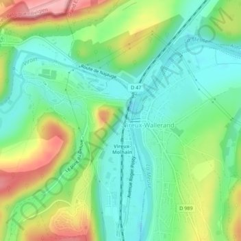
Name: Vireux topographic map, elevation, terrain.
Average elevation: 149 m
Minimum elevation: 100 m
Maximum elevation: 239 m
Other topographic maps
Click on a map to view its topography, its elevation and its terrain.
Mont Vireux
France > Grand Est > Ardennes > Vireux-Molhain
Mont Vireux, Vireux-Molhain, Charleville-Mézières, Ardennes, Grand Est, France métropolitaine, 08320, France
Average elevation: 151 m