
Khariya topographic map
Interactive map
Click on the map to display elevation.
About this map
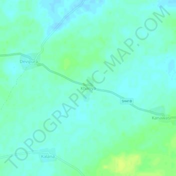
Name: Khariya topographic map, elevation, terrain.
Location: Khariya, Rajgarh Tehsil, Churu, Rajasthan, India (28.49132 75.30904 28.53132 75.34904)
Average elevation: 259 m
Minimum elevation: 254 m
Maximum elevation: 268 m