
Gemmenich topographic map
Interactive map
Click on the map to display elevation.
About this map
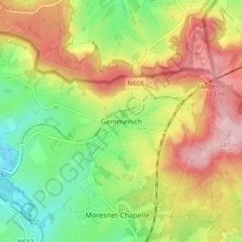
Name: Gemmenich topographic map, elevation, terrain.
Location: Gemmenich, Bleiberg, Verviers, Lüttich, Wallonien, 4851, Belgien (50.72644 5.97682 50.76644 6.01682)
Average elevation: 237 m
Minimum elevation: 141 m
Maximum elevation: 345 m