
Khatia topographic map
Interactive map
Click on the map to display elevation.
About this map
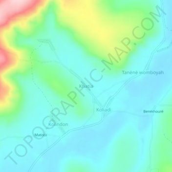
Name: Khatia topographic map, elevation, terrain.
Location: Khatia, Boké Region, Guinea (10.30983 -13.95992 10.34983 -13.91992)
Average elevation: 100 m
Minimum elevation: 49 m
Maximum elevation: 268 m