
Sheka topographic map
Interactive map
Click on the map to display elevation.
About this map
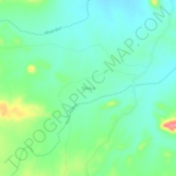
Name: Sheka topographic map, elevation, terrain.
Location: Sheka, Kutum, North Darfur State, Sudan (14.41600 24.49938 14.45600 24.53938)
Average elevation: 1,172 m
Minimum elevation: 1,147 m
Maximum elevation: 1,240 m