
Thank you for supporting this site ❤️
Make a donation
Make a donation
Karai topographic map
Click on the map to display elevation.
Thank you for supporting this site ❤️
Make a donation
Make a donation
About this map
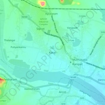
Name: Karai topographic map, elevation, terrain.
Location: Karai, Wallajah, Ranipet District, Tamil Nadu, 632404, India (12.89804 79.27257 12.97804 79.35257)
Average elevation: 178 m
Minimum elevation: 156 m
Maximum elevation: 308 m
Thank you for supporting this site ❤️
Make a donation
Make a donation
Other topographic maps
Click on a map to view its topography, its elevation and its terrain.