
La Campa topographic map
Interactive map
Click on the map to display elevation.
About this map
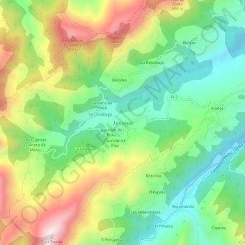
Name: La Campa topographic map, elevation, terrain.
Location: La Campa, Asturias, España (43.30166 -5.44422 43.34166 -5.40422)
Average elevation: 443 m
Minimum elevation: 199 m
Maximum elevation: 823 m