
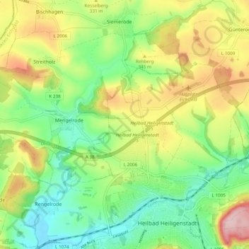
Beber topographic map
Interactive map
Click on the map to display elevation.
About this map
Name: Beber topographic map, elevation, terrain.
Average elevation: 314 m
Minimum elevation: 233 m
Maximum elevation: 436 m
Other topographic maps
Click on a map to view its topography, its elevation and its terrain.
Bad Langensalza
Alemania > Turingia > Bad Langensalza
Bad Langensalza, Unstrut-Hainich-Kreis, Turingia, 99947, Alemania
Average elevation: 242 m