
Thank you for supporting this site ❤️
Make a donation
Make a donation
Alampur topographic map
Click on the map to display elevation.
Thank you for supporting this site ❤️
Make a donation
Make a donation
About this map
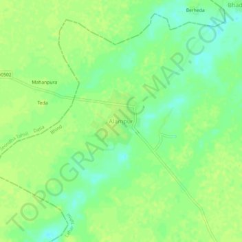
Name: Alampur topographic map, elevation, terrain.
Location: Alampur, Lahar Tahsil, Bhind District, Madhya Pradesh, India (26.00590 78.77596 26.04590 78.81596)
Average elevation: 163 m
Minimum elevation: 154 m
Maximum elevation: 167 m
Thank you for supporting this site ❤️
Make a donation
Make a donation
Other topographic maps
Click on a map to view its topography, its elevation and its terrain.