
Anshi topographic map
Interactive map
Click on the map to display elevation.
About this map
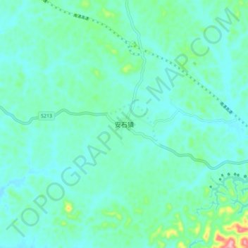
Name: Anshi topographic map, elevation, terrain.
Location: Anshi, Pubei County, Qinzhou City, Guangxi, PRC (21.93977 109.46464 22.01977 109.54464)
Average elevation: 56 m
Minimum elevation: 28 m
Maximum elevation: 192 m