
Thank you for supporting this site ❤️
Make a donation
Make a donation
Kinsbourne Green topographic map
Click on the map to display elevation.
Thank you for supporting this site ❤️
Make a donation
Make a donation
About this map
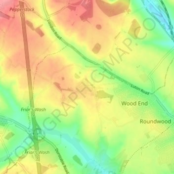
Name: Kinsbourne Green topographic map, elevation, terrain.
Average elevation: 134 m
Minimum elevation: 94 m
Maximum elevation: 170 m
Thank you for supporting this site ❤️
Make a donation
Make a donation
Other topographic maps
Click on a map to view its topography, its elevation and its terrain.
Harpenden
United Kingdom > England > Hertfordshire > St Albans > Hatching Green
Average elevation: 119 m