
Cañon Verde topographic map
Interactive map
Click on the map to display elevation.
About this map
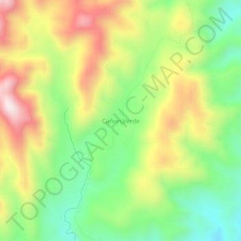
Name: Cañon Verde topographic map, elevation, terrain.
Location: Cañon Verde, Provincia Sur Cinti, CHQ, Bolivia (-21.12616 -64.25581 -21.08616 -64.21581)
Average elevation: 1,152 m
Minimum elevation: 879 m
Maximum elevation: 1,499 m