
Hannut topographic map
Interactive map
Click on the map to display elevation.
About this map
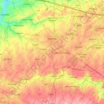
Name: Hannut topographic map, elevation, terrain.
Location: Hannut, Lüttich, Wallonien, 4280, Belgien (50.59840 4.98715 50.71615 5.16246)
Average elevation: 133 m
Minimum elevation: 63 m
Maximum elevation: 178 m