
Athens topographic map
Interactive map
Click on the map to display elevation.
About this map
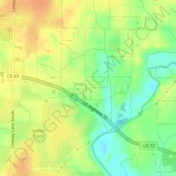
Name: Athens topographic map, elevation, terrain.
Location: Athens, Limestone County, Alabama, United States of America (34.77776 -86.91716 34.78124 -86.91281)
Average elevation: 212 m
Minimum elevation: 190 m
Maximum elevation: 229 m