
Nagina topographic map
Interactive map
Click on the map to display elevation.
About this map
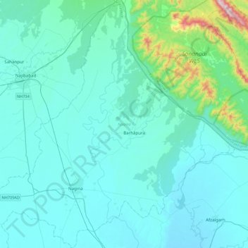
Name: Nagina topographic map, elevation, terrain.
Location: Nagina, Bijnor, Uttar Pradesh, 246762, India (29.34999 78.28330 29.72661 78.70840)
Average elevation: 311 m
Minimum elevation: 222 m
Maximum elevation: 1,118 m