
Owaka topographic map
Interactive map
Click on the map to display elevation.
About this map
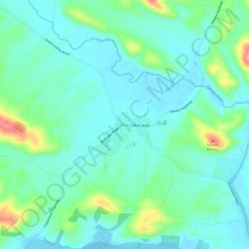
Name: Owaka topographic map, elevation, terrain.
Location: Owaka, Clutha District, Otago, 9535, Nueva Zelanda (-46.46841 169.64267 -46.42841 169.68267)
Average elevation: 28 m
Minimum elevation: 0 m
Maximum elevation: 149 m