
Semmedu topographic map
Interactive map
Click on the map to display elevation.
About this map
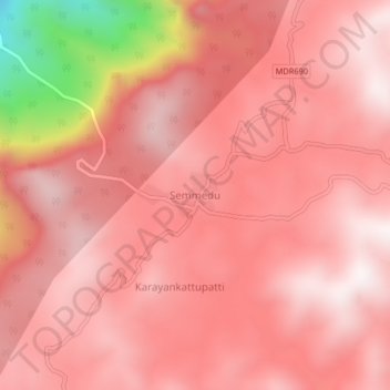
Name: Semmedu topographic map, elevation, terrain.
Location: Semmedu, KOLLI HILLS, Namakkal district, Tamil Nadu, India (11.25953 78.31173 11.29953 78.35173)
Average elevation: 1,085 m
Minimum elevation: 335 m
Maximum elevation: 1,312 m