
Thank you for supporting this site ❤️
Make a donation
Make a donation
Namaloya topographic map
Click on the map to display elevation.
Thank you for supporting this site ❤️
Make a donation
Make a donation
About this map
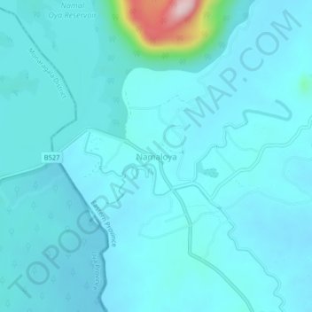
Name: Namaloya topographic map, elevation, terrain.
Location: Namaloya, Ampara District, Eastern Province, Sri Lanka (7.26000 81.51106 7.30000 81.55106)
Average elevation: 91 m
Minimum elevation: 60 m
Maximum elevation: 383 m
Thank you for supporting this site ❤️
Make a donation
Make a donation
Other topographic maps
Click on a map to view its topography, its elevation and its terrain.