
Kampur topographic map
Interactive map
Click on the map to display elevation.
About this map
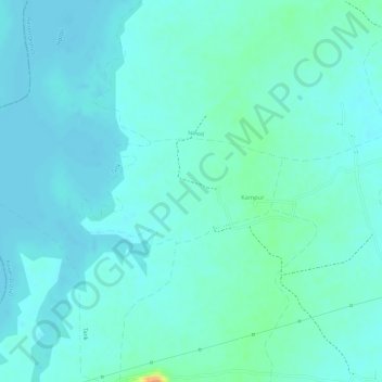
Name: Kampur topographic map, elevation, terrain.
Location: Kampur, Raisen Tahsil, Raisen District, Madhya Pradesh, India (23.44042 77.50143 23.44794 77.51710)
Average elevation: 462 m
Minimum elevation: 454 m
Maximum elevation: 492 m
Other topographic maps
Click on a map to view its topography, its elevation and its terrain.