
贡井镇 topographic map
Interactive map
Click on the map to display elevation.
About this map
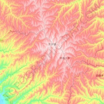
Name: 贡井镇 topographic map, elevation, terrain.
Location: 贡井镇, 榆中县, 兰州市, 甘肃省, 中国 (35.91526 104.23627 36.15857 104.47024)
Average elevation: 2,209 m
Minimum elevation: 1,767 m
Maximum elevation: 2,493 m
Other topographic maps
Click on a map to view its topography, its elevation and its terrain.